Monday 30 April 2012

Pattern-making with Maps:

Following a tutorial this morning in which we realised how little time we have left, I got straight in to the flow of Monday Morning work and decided to apply the pattern I did last on to iron-on transfer paper. Although easy to apply to the paper itself, it was NOT easy to apply to the fabric, in fact, it didn't work at all, except the accidentally-photocopied binding of my sketchbook:
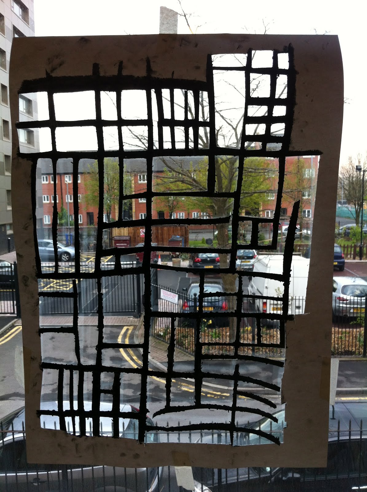
I decided I didn't want to waste the fabric, so I used a fine-liner on it and created the maps myself, using the whole length to create a path of maps:
I'm really happy with this, although it didn't go to plan, I think I made the best out of a bad situation, since the fabric with be used as part of an installation, it doesn't have to be created in a practical manner.
I then carried on using the same map to photocopy, fill in, and create more patterns:


I am pleased with all of these patterns, and hope to print on to tracing paper, to create more samples.

Working with Maps:

In addition to re-creating the maps of Hulme and the city centre of Manchester, I decided to work with the maps a little more, I could already see patterns in the maps, so used this map of a very small part of Hulme:
.. and repeated it randomly and came up with this:
I wanted to place the map so it appeared to start off somewhere on quite a large scale, and then spread over to another part of the page. I then photocopied it several times and reduced the size of it, creating a pattern:
I really liked this idea and decided I would work with it some more.

Monday 23 April 2012

Further Sketchbook Work:


After a confused Easter holidays, I found our first tutorial back quite inspiring. Due to a suggestion at the beginning of the project from Alex Russell, I decided to look at maps of different parts of Manchester, whilst others in the group looked at the spread of germs and disease which came from the over crowding of Manchester during the Industrial Revolution.
First I looked at the more Industrial areas of Manchester, around the City Centre:

I then did a series of drawings from these maps, including blind drawings, continuous line drawings and negative drawings:

I decided to look at an area which has always been residential, to show the idea of over crowding better:
HULME:

I continued my idea from earlier of using different techniques, however I layered drawings, and also used colour differently, whilst creating larger scale versions to imagine them as patterns:


I then created A2 versions of the maps, using home-made paint brushes (attached to a 50cm pole), ink and cut outs: